
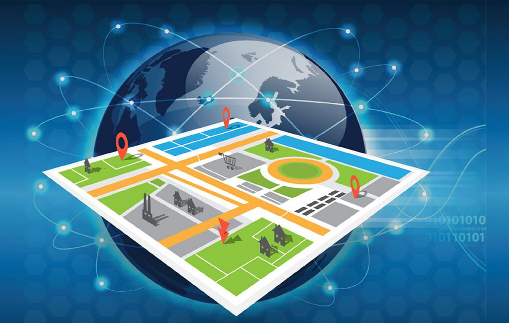
- Introduction to Geospatial Data Systems
- The Role of Geospatial Data in Predictive Analytics
- Key Technologies in Geospatial Predictive Systems
- Applications of Geospatial Predictive Analytics
- Benefits of Geospatial Predictive Systems
- Emerging Trends in Geospatial Predictive Analytics
- Challenges in Implementing Geospatial Predictive Systems
- Conclusion: Transforming Decision-Making with Geospatial Predictive Analytics
Introduction to Geospatial Data Systems
Geospatial data systems are critical in the era of predictive analytics, providing organizations with the ability to analyze location-based information and anticipate future trends. By combining spatial data with advanced analytics and artificial intelligence (AI), these systems enable predictive insights that improve decision-making, optimize operations, and drive innovation across industries.
Modern geospatial systems are designed to handle vast datasets, integrate multiple data sources, and deliver actionable intelligence in real time, transforming raw Geospatial data into strategic assets.
The Role of Geospatial Data in Predictive Analytics
Understanding Spatial Patterns
Geospatial data systems help identify patterns, relationships, and trends across geographic regions. By analyzing spatial distributions, organizations can uncover hidden correlations and make data-driven predictions.
For example, retailers can predict high-demand areas for products, while urban planners can anticipate population growth and infrastructure needs. Understanding spatial patterns enhances forecasting accuracy and strategic planning.
Integration with Machine Learning and AI
AI and machine learning algorithms process geospatial data to generate predictive models. These models analyze historical and real-time data to forecast outcomes, detect anomalies, and optimize strategies.
Integration with predictive analytics allows geospatial systems to deliver insights for traffic management, resource allocation, market analysis, and risk assessment, enabling proactive rather than reactive decision-making.
Key Technologies in Geospatial Predictive Systems
Geographic Information Systems (GIS)
GIS platforms serve as the foundation for geospatial predictive analytics. They manage, visualize, and analyze spatial data, allowing organizations to overlay multiple data layers and perform complex spatial queries.
Advanced GIS integrates predictive modeling tools and AI algorithms, enabling organizations to simulate scenarios, forecast trends, and evaluate potential outcomes with greater accuracy.
Big Data and Cloud Computing
Geospatial predictive analytics relies on processing large volumes of diverse datasets. Cloud computing provides the necessary infrastructure for scalable storage and high-performance computing.
Combining geospatial data with big data analytics allows organizations to identify correlations across multiple datasets, enhancing predictive insights and enabling real-time decision-making.
Real-Time Data and IoT Integration
Internet of Things (IoT) devices generate continuous streams of geospatial data from sensors, vehicles, mobile devices, and infrastructure. Real-time data integration enables predictive models to adapt to changing conditions and deliver timely insights.
For example, traffic sensors combined with predictive geospatial analytics can forecast congestion patterns, helping cities manage transportation systems efficiently.
Applications of Geospatial Predictive Analytics
Urban Planning and Smart Cities
Predictive geospatial analytics informs urban planning by analyzing population trends, infrastructure utilization, and traffic patterns. City planners can forecast growth areas, optimize transportation networks, and allocate resources efficiently.
AI-driven geospatial predictions support disaster preparedness, energy management, and environmental sustainability, creating smarter and more resilient cities.
Transportation and Logistics
In transportation and logistics, geospatial predictive systems optimize route planning, fleet management, and delivery schedules. Predictive models use traffic data, weather conditions, and historical performance to reduce delays, lower costs, and improve customer satisfaction.
Companies can proactively adjust routes and resources based on geospatial insights, ensuring operational efficiency and reliability.
Environmental Monitoring and Risk Management
Geospatial predictive analytics supports environmental monitoring by forecasting changes in climate, vegetation, water levels, and pollution. Organizations can anticipate risks, implement mitigation strategies, and ensure compliance with environmental regulations.
Predictive models enable early warning systems for natural disasters such as floods, wildfires, and hurricanes, minimizing damage and safeguarding communities.
Business Intelligence and Market Forecasting
Businesses leverage geospatial predictive analytics to forecast market demand, identify emerging opportunities, and optimize supply chains. By analyzing spatial and demographic data, companies can make informed decisions about store locations, product distribution, and targeted marketing campaigns.
AI-powered predictions provide a competitive edge by enabling proactive strategies that respond to evolving market conditions.
Benefits of Geospatial Predictive Systems
Improved Decision-Making
Predictive geospatial insights allow organizations to make informed, forward-looking decisions. By visualizing potential outcomes and trends, stakeholders can evaluate alternatives, minimize risks, and implement effective strategies.
Operational Efficiency and Cost Reduction
Geospatial predictive analytics optimizes resource allocation, reduces inefficiencies, and improves overall operational performance. Real-time insights enable organizations to adjust plans dynamically, minimizing costs and enhancing productivity.
Risk Assessment and Mitigation
Predictive models identify high-risk areas and potential hazards, enabling proactive risk management. Organizations can implement preventive measures, allocate emergency resources efficiently, and respond swiftly to emerging threats.
Strategic Planning and Innovation
Geospatial predictive systems support strategic planning by highlighting trends, forecasting market behavior, and informing infrastructure development. Organizations can innovate more effectively by anticipating future needs and aligning operations with predicted outcomes.
Emerging Trends in Geospatial Predictive Analytics
AI-Enhanced Predictive Modeling
Artificial intelligence continues to advance geospatial predictive analytics. AI algorithms can process massive datasets, detect complex patterns, and generate highly accurate forecasts for various industries, from urban planning to retail logistics.
Real-Time Geospatial Analytics
The integration of real-time geospatial data with predictive analytics enables dynamic decision-making. Organizations can respond to immediate events, optimize operations in real time, and adapt strategies to changing conditions.
Cloud-Based Geospatial Solutions
Cloud platforms enhance the scalability, accessibility, and collaboration capabilities of geospatial predictive systems. Organizations can store, process, and analyze vast geospatial datasets without heavy infrastructure investments.
Cross-Industry Adoption
Predictive geospatial analytics is expanding across sectors such as healthcare, finance, transportation, energy, and environmental management. Organizations leverage location-based insights to improve operations, forecast trends, and drive innovation.
Challenges in Implementing Geospatial Predictive Systems
Data Accuracy and Quality
Reliable predictive insights depend on accurate, high-quality geospatial data. Incomplete or inconsistent data can compromise the effectiveness of predictive models. Organizations must implement rigorous data validation, cleaning, and standardization processes.
Privacy and Security Concerns
Geospatial predictive systems often involve sensitive location information. Ensuring data privacy, complying with regulations, and safeguarding against unauthorized access are critical to maintaining trust and ethical operations.
Technical Complexity
Implementing geospatial predictive analytics requires expertise in GIS, AI, cloud computing, and data integration. Organizations must invest in skilled personnel, robust infrastructure, and advanced analytical tools to realize the full potential of predictive insights.
Conclusion: Transforming Decision-Making with Geospatial Predictive Analytics
Geospatial data systems are transforming predictive analytics by enabling organizations to anticipate trends, optimize operations, and make informed, data-driven decisions. By integrating GIS, AI, IoT, and cloud computing, these systems convert complex spatial data into actionable insights that enhance strategic planning, operational efficiency, and risk management.
Across industries, predictive geospatial analytics provides a competitive advantage, supports sustainable development, and fosters innovation. Organizations that harness the power of geospatial data systems will be better equipped to navigate the complexities of the digital world and achieve long-term success.